Service
Search & Recovery
Find what's lost, fast, across ground you can't cover on foot.
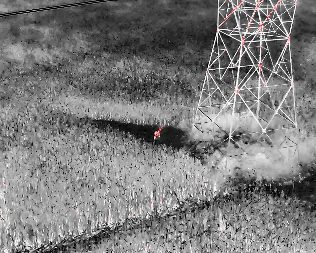
When an animal, a person, or expensive equipment goes missing across hundreds of acres, every hour matters and ground search is slow. AcreWatch deploys drones with thermal and high-zoom optical sensors to cover large areas quickly, day or night, picking up heat signatures through brush, tree lines, and low light that a ground crew would walk right past.
The moment we spot the target, we hand off exact coordinates and live imagery so recovery crews go straight to the location instead of grid-searching. From strays and downed animals to lost equipment and supporting first responders, we turn a wide, uncertain search area into a precise point on the map.
What we do
- Thermal and high-zoom optical search, day or night
- Rapid coverage of large, rough, or wooded terrain
- Live location hand-off with coordinates and imagery
- Missing-livestock and downed-animal location
- Lost-equipment and asset recovery support
- Search support for landowners and first responders
For missing-person situations, AcreWatch provides aerial search support only, in coordination with and in support of local authorities and first responders, and is not a public safety or emergency response agency. Always contact 911 first.
Industries served
Explore more services
Put eyes in the sky over your operation.
Tell us about your acres, sites, or assets and we'll map out a monitoring plan, and a demo flight to prove it.