Service
Drainage & Water Management
See where water moves before it costs you yield.
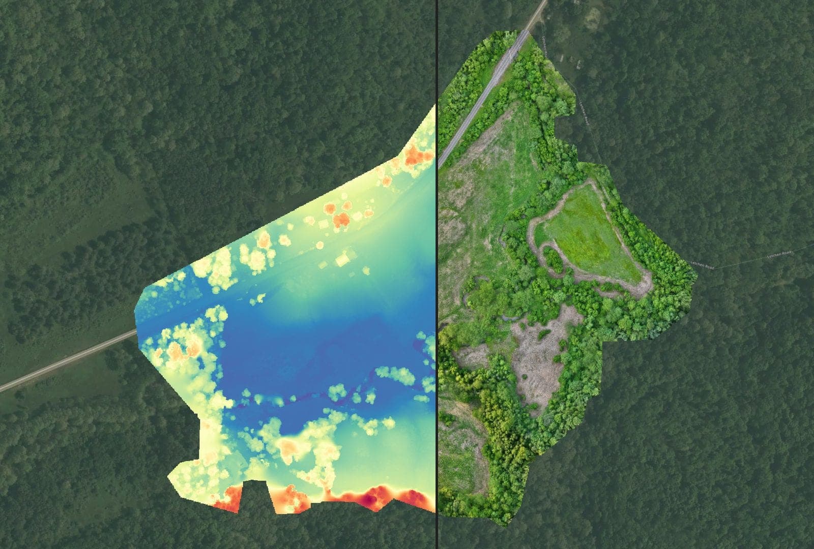
Standing water and poor drainage quietly cap yield on otherwise good ground. AcreWatch captures high-resolution elevation and surface models across your fields, then turns them into contour and flow maps that show exactly where water collects, where it runs, and where a tile line or grade change would change the outcome.
Flown on a schedule, the same fields build a record of how drainage performs through wet and dry stretches, so you can prioritize the acres that need work and verify the results after the dirt is moved.
What we do
- High-resolution digital elevation and surface models (DEM/DSM)
- Contour, slope, and water-flow mapping
- Ponding, washout, and wet-spot identification
- Tile, waterway, and grading planning layers
- Before/after verification of drainage work
Industries served
Explore more services
Put eyes in the sky over your operation.
Tell us about your acres, sites, or assets and we'll map out a monitoring plan, and a demo flight to prove it.