Industry
Agriculture & Land Management
Persistent intelligence for every acre you farm and manage.
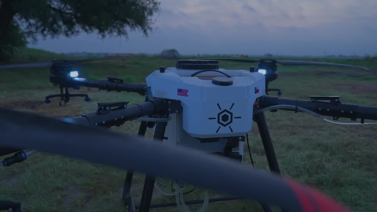
Modern operations are too big to walk and too valuable to guess about. AcreWatch Scout gives growers, agronomists, ranchers, and land managers a repeatable aerial view of crop health, emergence, drainage, and stress, captured on a schedule and delivered as maps your team can act on. AcreWatch Apply then treats what you find, from spray to cover-crop seeding, so you find it, treat it, and prove it worked.
From planting through harvest, that season-long record shows where inputs, water management, and scouting actually pay off, so you cut costs and catch problems while there is still time to respond. On your largest acres, AcreWatch Auto stations a dock right on the operation, so the flights happen without anybody driving out for them.
Challenges we solve
- Fields and pastures too large to scout on foot before problems spread
- Inputs applied uniformly instead of where they are needed
- Drainage, ponding, and stand issues found too late to fix
- Thin documentation for agronomy, insurance, and land decisions
How AcreWatch helps in agriculture & land management
The services that deliver the most value for operators in this space.
AcreWatch Auto
A drone dock on your operation, flying the schedule your acres need. Findings land in your dashboard and prescription files land in your equipment, with one of our pilots responsible for every flight.
See PlansAcreWatch Scout
A pilot and an aircraft, for the fields a dock does not cover. A pass at each stage the crop goes through, with prescription files for your planter, sprayer, and robots.
Learn moreAcreWatch Apply
Part 137 drone application. Fungicide, herbicide, and cover crop seed on the acres Auto and Scout flag.
Learn moreEyes in the sky. Decisions on the ground.
Put eyes in the sky over your operation.
Tell us about your acres, sites, or assets and we'll survey the site and map out a monitoring plan.