Industry
Livestock & Ranching
Cover the whole ranch in one flight.
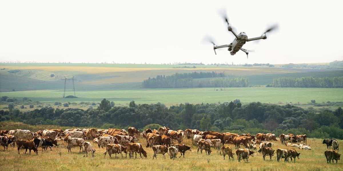
On large grazing operations, the work starts with knowing where the animals are. AcreWatch flies pastures and rangeland to deliver head counts, locate strays and down animals with thermal imaging, and check water points and fence lines on the schedule you set.
That turns a day of riding the perimeter into one notification: how many head, which ones are off on their own, whether the water is there and whether the fence is still up. Problems surface while they are still problems rather than losses.
Challenges we solve
- Rangeland too large to check on horseback or by truck
- Strays and down animals found too late
- Water and fence failures discovered after the fact
- Labor and fuel spent covering the perimeter
How AcreWatch helps in livestock & ranching
The services that deliver the most value for operators in this space.
AcreWatch Auto
A drone dock on your operation, flying the schedule your acres need. Findings land in your dashboard and prescription files land in your equipment, with one of our pilots responsible for every flight.
See PlansInspection & Recovery
Energy and utility inspection, search and recovery, and one-off mapping jobs. Called in rather than flown on a schedule.
Learn moreEyes in the sky. Decisions on the ground.
Put eyes in the sky over your operation.
Tell us about your acres, sites, or assets and we'll survey the site and map out a monitoring plan.