Eyes in the sky. Decisions on the ground.
Your acres, watched on your schedule.
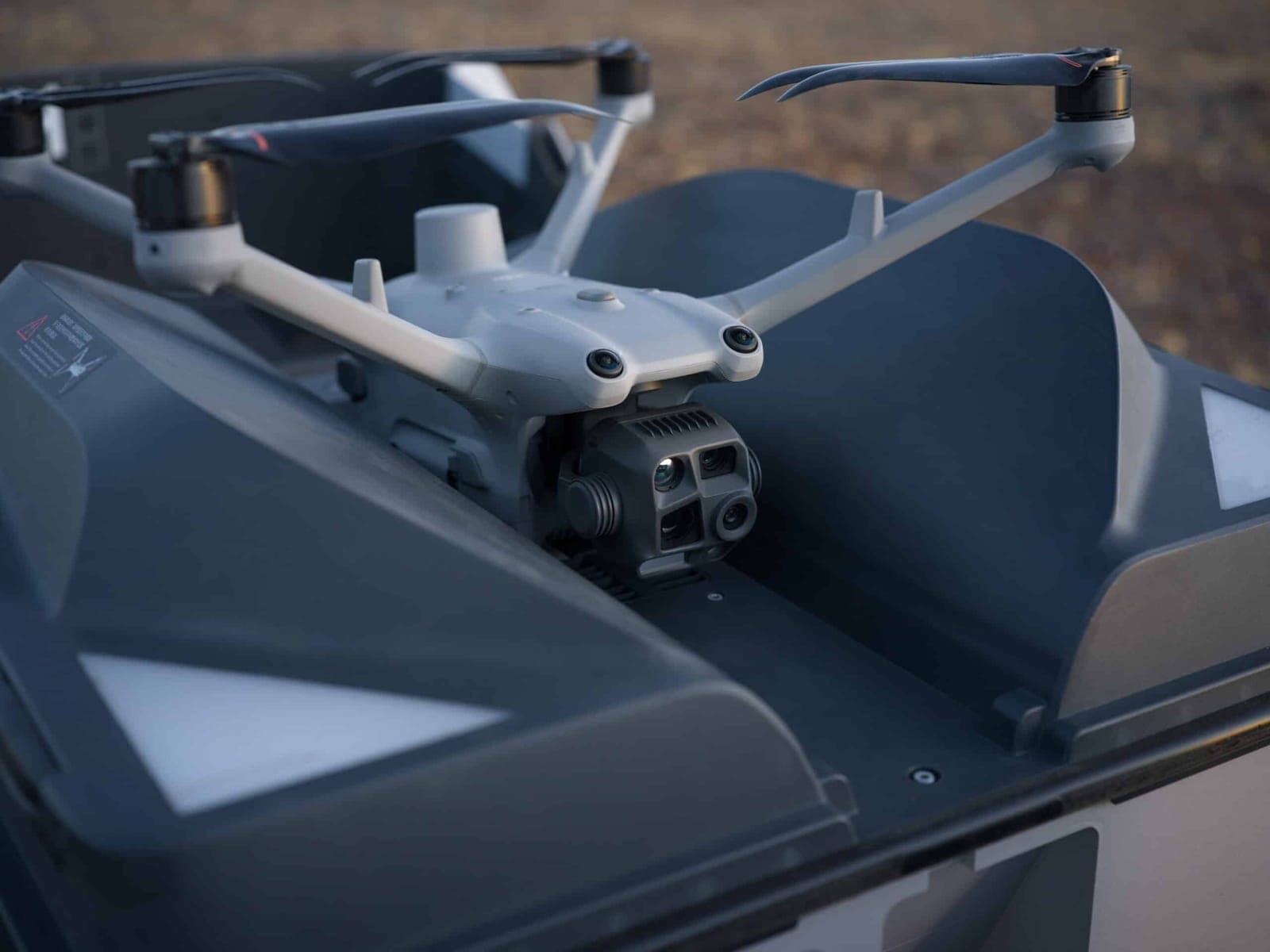
AcreWatch Auto puts a drone dock on your operation. It flies the schedule your acres need, counts, checks water and fence, maps stand and stress, and sends findings to you.
- NDAA and Blue UAS
- Available where required
- Autonomous
- Dock-based, FAA BVLOS program
- Veteran
- Owned and operated
What we do
How we watch your acres
AcreWatch Auto is the dock programme: ag, construction, and whatever else is worth a standing look. Scout and Apply cover the acres it does not reach, and Inspection & Recovery flies the jobs that are not on a schedule at all.
AcreWatch Auto
A dock on your operation, flying the schedule your acres need, with one of our pilots responsible for every flight.
Ag
Crop and cattle off the same dock: a pass at every stage the crop goes through, and the count, the water and the fence on every pasture flight.
Construction
A self-powered trailer on the job site. Dated orthomosaics, 3D models, cut and fill and stockpile volumes, on the cadence the work needs.
General
Anything else worth a standing look: property and perimeter, water and infrastructure, ground nobody can get to easily. Scoped at the survey.
AcreWatch Scout
A pilot and an aircraft, for the fields a dock does not cover. A pass at each stage the crop goes through, with prescription files for your planter, sprayer, and robots.
Learn moreAcreWatch Apply
Part 137 drone application. Fungicide, herbicide, and cover crop seed on the acres Auto and Scout flag.
Learn moreInspection & Recovery
Energy and utility inspection, search and recovery, and one-off mapping jobs. Called in rather than flown on a schedule.
How it works
Persistent oversight, on the schedule you set
A dock on the property flies the same routes on the cadence you choose.
Plan your coverage
We walk the property, pick the dock location, and set a flight schedule around your operation.
Fly repeatable missions
The dock flies the same routes every time, with a licensed remote pilot responsible for each flight.
Process into intelligence
Imagery becomes health maps, counts, thermal reports, and defect lists, georeferenced and dated.
Decide on the ground
Findings land in your dashboard and your team's tools, ready to act on before small problems become losses.
Who we serve
Built for the operations that feed and power our country
AcreWatch works with operations of every size, from a few hundred acres to a few thousand.
Agriculture & Land Management
Growers, ranchers, ag retailers, and land managers use AcreWatch to scout fields, apply inputs, map drainage, monitor herds, and document conditions across thousands of acres without leaving tire tracks.
Livestock & Ranching
Ranchers use AcreWatch to count head, find strays, and check water and fence across rangeland too big to ride.
Construction
Builders, GCs, and site owners use AcreWatch for progress tracking, 3D site models, and cut/fill and stockpile volumes, with dock-based AcreWatch Auto capturing the site on the cadence the job needs.
Energy & Utilities
Wind, substation, transmission, and battery-storage operators use AcreWatch for blade and structural inspection, thermal fault detection, and site monitoring that keep generation up and O&M crews focused. Solar inspection is available through a partner network.
Why AcreWatch
Why the dock stays
Booking a pilot means waiting: for an opening on their calendar, for the drive out, and for the weather to hold until both line up. By then the window you needed has usually closed. A dock on the property takes the scheduling out of it.
The aircraft is already there
No travel day and no waiting for an opening on somebody's calendar. The flight happens when your operation needs it.
Short windows get used
A break in the weather can be two hours wide. An aircraft on the property can fly it; one that still has to be driven out cannot.
A licensed pilot on every flight
Autonomous does not mean unattended. Our team plans, monitors, and is responsible for each flight the dock makes.
What we can show you
Proof
Work you can go and look at, rather than a number on a slide.
Construction
A job site, captured on a schedule
Progress flights on an earthwork site near Springfield, Ohio: the same route at the same altitude every time, which is what makes two dates overlay cleanly and the volumes between them worth comparing.
See the pageFree tools
Two tools, free, whatever you fly
As-applied maps for John Deere Operations Center from any brand of drone, and the pilot toolbox our own flight team uses for boundaries, routes and coverage checks. No account, and nothing you upload is kept.
Use themPilot network
Reach past our own hundred miles
We fly the first hundred miles ourselves. Beyond it, Scout and Auto are delivered through the Vets to Drones network of 600+ veteran pilots, and we help train the veterans who join it.
About usEyes in the sky. Decisions on the ground.
Put eyes in the sky over your operation.
Tell us about your acres, sites, or assets and we'll survey the site and map out a monitoring plan.