Service
Mapping & Surveying
Survey-grade maps of the land you manage.
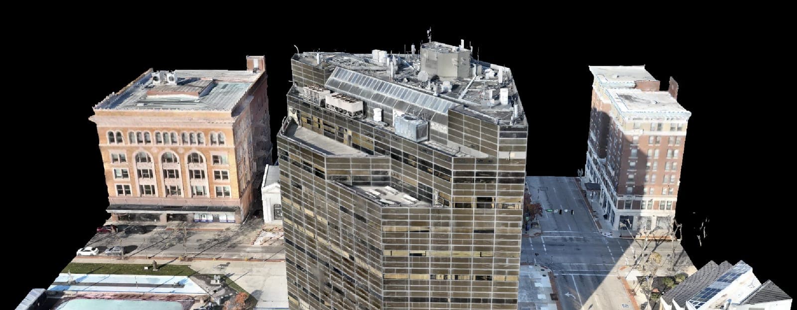
Good decisions about drainage, grading, and site layout start with an accurate map. AcreWatch produces high-resolution orthomosaics, digital elevation and surface models, and volumetric measurements from drone flights, accurate enough to plan tile, earthwork, and construction against.
Whether you are planning drainage on a field, laying out a site, or measuring stockpiles and earthwork, our georeferenced deliverables drop straight into the CAD, GIS, and farm-management tools your team already uses.
What we do
- Survey-grade orthomosaic mapping
- Digital elevation and surface models (DEM/DSM)
- Contour generation for drainage and grading
- Volumetric measurement of stockpiles and earthwork
- Acreage and boundary documentation
Industries served
Explore more services
Put eyes in the sky over your operation.
Tell us about your acres, sites, or assets and we'll map out a monitoring plan, and a demo flight to prove it.