Industry
Construction
Track and measure every phase from the air.
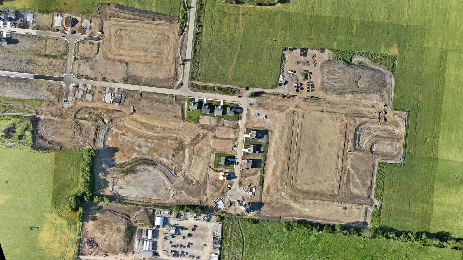
Construction sites change by the day, and an objective record of progress is worth as much as the finished work. AcreWatch flies sites to produce dated orthomosaics, 3D models, and volume measurements you can hand to owners, general contractors, and inspectors and measure against the plan.
Repeatable, georeferenced flights build a week-by-week timeline: overlay any two dates to see what moved, pull cut/fill and stockpile volumes on demand, and settle pay applications with data instead of photos. On large or long-running sites, AcreWatch Auto stations a dock on site for automated weekly capture.
Challenges we solve
- Progress disputes with no dated, objective record
- Earthwork and stockpile volumes that are slow and costly to measure
- Grading and fill that drift from the design before anyone catches it
- Large or long-running sites that are expensive to document weekly
How AcreWatch helps in construction
The services that deliver the most value for operators in this space.
Construction
Progress tracking for construction and earthwork: dated orthomosaics, 3D site models, and cut/fill and stockpile volumes that document exactly how a site is being built, with dock-based AcreWatch Auto for automated weekly capture.
Learn moreAcreWatch Auto
Dock-based automated drone monitoring for large operations: an on-site station launches, flies, and recovers on a set schedule, so your biggest acres get watched all season without a truck or a crew on the road.
Learn moreMapping & Surveying
High-accuracy orthomosaics, elevation models, and volumetric surveys for planning drainage, earthwork, site layout, and acreage across farms and job sites.
Learn morePut eyes in the sky over your operation.
Tell us about your acres, sites, or assets and we'll map out a monitoring plan, and a demo flight to prove it.